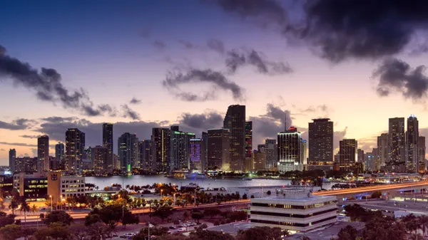
From Tropical Heat to a Midnight Chill: Miami’s Sunday Weather Rollercoaster
Morning: Humidity and Frontal Rain Chances
Miami residents and visitors, especially those wrapping up the final day of the South Beach Wine and Food Festival, should prepare for a day of dramatic atmospheric shifts. Today, Sunday, February 22, 2026, begins with a thick layer of tropical humidity, currently measured at approximately 90%. As the sun rises, temperatures will hover in the high 60s and low 70s. However, the lead-up to midday brings a 35% chance of light rain and isolated thunderstorms. This activity is driven by a strong cold front descending through the Florida Peninsula. While no widespread severe weather is expected, early morning joggers and outdoor event staff should stay alert for occasional lightning strikes and brief, heavy downpours before the front fully clears the coast around noon.
Afternoon: Peak Warmth and Rising Winds
By early afternoon, the clouds are expected to break, giving way to bright sunshine that will push our high temperatures to a warm range of 81°F to 83°F. This will be the most pleasant window for outdoor activities, though the atmosphere will begin to feel noticeably drier. As the cold front pushes further into the Atlantic, the wind will begin to shift and intensify. Expect breezy conditions throughout the city, with northwesterly gusts becoming more frequent. For those heading to the beach, be aware that while the air remains warm, the coastal environment is transitioning rapidly toward a much more turbulent state.
Evening: The Big Chill and Marine Warnings
The defining story of today’s weather occurs after sunset. As the cold air mass settles over South Florida, temperatures are forecast to plummet from the low 80s down to an overnight low of 51°F to 53°F. This nearly 30-degree swing will be accompanied by gusty winds, making the Monday morning commute feel significantly colder. In addition to the temperature drop, several marine warnings have been issued by the National Hurricane Center and local authorities:
- Gale Warning: A Gale Warning is currently in effect for Miami’s offshore waters. Northwest winds are expected to reach 35 to 40 knots in the wake of the front.
- Hazardous Seas: Seas are forecast to build rapidly to 12-15 feet, making conditions extremely dangerous for small craft and mariners.
- Wind Chill: With the sustained winds, "feels like" temperatures may dip into the 40s in inland Miami-Dade County by dawn tomorrow.
Whether you are a local resident or a visitor enjoying the city’s culinary highlights, be sure to swap your sunscreen for a heavy jacket before heading out tonight. Stay safe and keep off the water until conditions improve early next week.